Om turen
( Information in English? Look below the Norwegian information )
Skildring av tur
Turen går for det meste i tørr og god sti; i starten gjennom bjørkeskog, og når du kjem over tregrensa går stien oppå ein rygg heilt til du kjem opp til Såtesteinane. Fin utsikt mot Hardangerfjorden, Samlen og ned til Herand langs heile denne ryggen. Ved Såtesteinane vender stien mot Såta, med utsikt mot stølane og tilhøyrande vatn. Flott utsikt i alle retningar når du kjem opp på Såta. Vidare går du ned til krysset med stien til Tostøl, og følgjer denne stien tilbake til Våhaug og vidare ned vegen til Langaskarv .
Denne turen er ein rundtur og er omtalt å starta ved Langaskarv, men vanskegraden er svært lik om du vel å gå motsett veg. Då går du opp til Våhaug og vidare mot Tostøl. Når du kjem oppover eit stykke er det skilta til Såta.
Sesong
Mai - oktober/november. Du kan også gå turen på ski om vinteren, men då vert turen noko meir krevjande og lengre fordi skogsbilvegen ikkje er brøytt, og du må derfor gå frå hovudvegen.
Råd for turen
-Ta med mat, drikke og vindtette klede.
- Du kan ofte gå denne turen i joggesko.
- Mobildekning det meste av turen.
- Vi anbefaler kart og kompass, ev. GPS.
- Det er bandtvang 1. april – 20. august.
- Det er forbode med open eld i skog og mark 15. april - 15. september.
- Til fots kan du ferdast fritt i utmark, men ver varsam og ta omsyn til dyr og fuglar, og til naturen elles. Ikkje kast søppel.
- Turistinformasjonen kan gi opplysningar om fiske og kjøp av fiskekort.
English version:
Starting point/parking:
Take road 550 to the north from Herand quay. After 4.1 km, and slightly south of the highest point in the road (Åsleitet) you leave the main road (eastwards) and follow onto a forest road. You will find an information board there. If you continue by car this is a toll road. The pay point is 100 m in from the main road. After 2.1 km (about 300 m from the end of the road) you come to Langaskarv and a hike marker to Såta. There is only limited parking here. Parking at own risk. There is an information board by the car park at the end of the road.
Description of the hike:
The hike is generally on a good and dry path, starting through the birch woods. After passing the tree line it continues on a ridge with a superb view of the Hardangerfjord, Samlen and the village of Herand. After arriving at Såtesteinane the path turns towards Såta, with good views in all directions including views of the mountain cabins and their respective lakes. Continue down until you meet the path going toTostøl. Here you loop back to the car park at Våhaug and then follow the road down to Langaskarv. (This tour describes a round trip, starting at Langaskarv. The character of the hike is quite similar if you should choose the opposite direction. In which case you start at Våhaug, taking the Tostøl route until you meet the signs for Såta further up.)
Season
May – October/November. You can also use this tour as a ski hike in the winter. However, it will then be longer and more demanding because the forest road is not maintained during the winter. The hike will then have to start at the main road.
Hiking advice
Bring food, drinking water and windproof clothing.
We advise you to use hiking boots or lighter walking shoes.
We recommend that you bring a map of the area and a compass, or a GPS.
Good cell phone signals covering most of the hike.
Dogs must be always kept (by law) on a leash between April 1 and August 20.
Open fire is prohibited in the hills and woods between April 15 and September 15.
You are free to walk anywhere in the hills and mountains. Take care of the nature and show special consideration to all wildlife. Please do not litter.
Slik kommer du deg dit
- Adkomst
- Stoppesteder
- Google Maps
Adkomst med egen bil
Adkomst med kollektivtransport
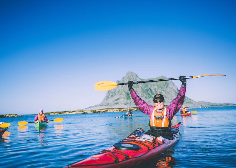
on the path
Kolofon
UT.no er en tjeneste fra Den Norske Turistforening, i samarbeid med Statskog, Friluftsrådenes Landsforbund, Miljødirektoratet og Kartverket.
Med støtte fra Sparebankstiftelsen DNB.
Takk til alle som bidrar med turforslag, hytter, steder og annet innhold på UT.no!
Finn din tur blant tusenvis av turforslag og hytter i hele Norge
Fellesturer, kurs og aktiviteter
Er du en fersking? Eller har du lyst til å dra på tur med andre? DNT arrangerer fellesturer, kurs og aktiviteter over hele landet!
Se oversikt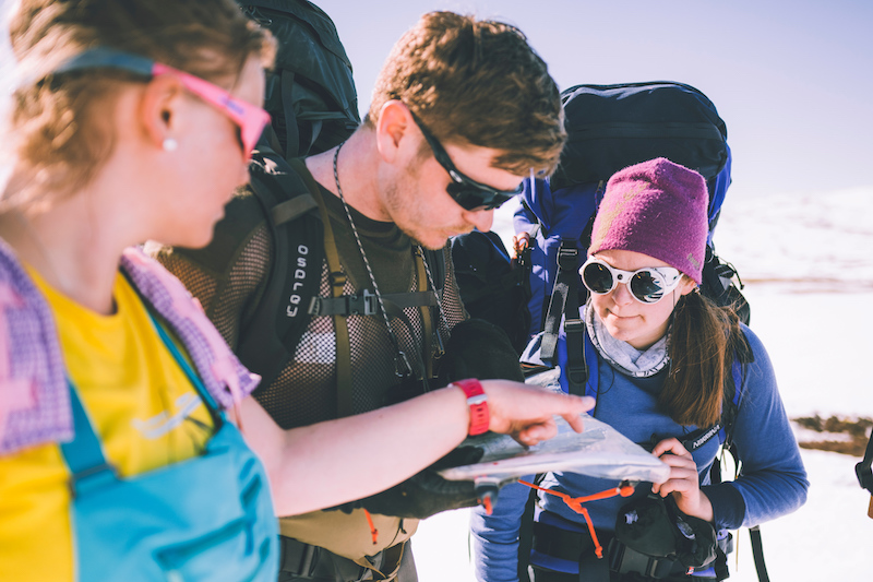
Nytt turutstyr eller kart?
Trenger du turutstyr eller kart til turen? DNTs nettbutikk har godt utvalg av turkart for hele landet, samt turutstyr til medlemspriser.
Se dntbutikken.noOpphavsrett, der ikke annet er angitt, Den Norske Turistforening © 2024
Versjon: 1510759