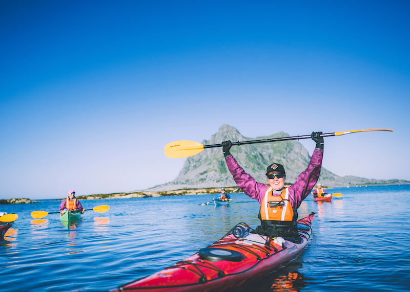
Om turen
ÅL SENTRUM
Fangstanlegget ved Gullhagen
Ca 8 km t/r (back and forth)
420-431 moh/masl
Gå turvegen «Elvelangs» austover frå parkeringa på Bråta til Ål camping, gjennom undergangen under Rv7 og opp til Sundrevegen. Herifrå går du gangvegen austover langs Sundrevegen ned til busshaldeplassen ved avkøyringa til Rv7 (Gullhagen).
Ved busshaldeplassen står det ei stor infotavle, i starten av stigen som fører inn til fangstanlegget. Ta deg tid til å lesa denne informasjonen før du følger stigen opp i skogen. Etter 130 m er du framme ved ei lita infotavle, som står ved fangstgroper og ei bogasteller. Her står postkassa.
Gå stigen opp til Baklivegen og følg den ned att til Sundrevegen eller ta sama vegen attende.
Follow the hike «Elvelangs» towards east to Ål camping, continue through the tunnel under State Hwy 7 and walk up to Sundrevegen. Walk on the sidewalk towards east to a large bus stop close to State Hwy 7. At this bus stop you will find a large information board. Read the information before continuing on the trail into the forest. After about 130 m you have reached the mailbox and guestbook. Here is a small information board telling you about the trapping pit close to where you are standing.
Walk farther into the forest and up to Baklivegen/road and walk down again to Sundrevegen. Or take the same trail back to the bus stop.
Slik kommer du deg dit
- Adkomst
- Stoppesteder
- Google Maps
Adkomst med egen bil
Turen kan starte kvar du vil frå Ål sentrum, frå Topcamp Hallingdal eller Ål Camping. Me beskriv den frå parkeringa på Ål idrettspark, Bråta. Adr: Ål idrettspark 1, 3570 Ål.
You can start the hike from Ål city center, from Topcamp Hallingdal or Ål camping. Our description starts at Ål outdoor sports arena. Address: Ål idrettspark/sports arena 1, 3570 Ål.
Parkering/parking:
Ål idrettspark, Bråta
Parking lot at Ål outdoor sports arena, Bråta.
Km/moh/masl:
Ca 8 km t/r (back and forth). 420 – 431 moh/masl.
Kart/map:
Sykkel og turkart Hemsedal, Gol og Ål, 1:60 000.
on the path
Kolofon
UT.no er en tjeneste fra Den Norske Turistforening, i samarbeid med Statskog, Friluftsrådenes Landsforbund, Miljødirektoratet og Kartverket.
Med støtte fra Sparebankstiftelsen DNB.
Takk til alle som bidrar med turforslag, hytter, steder og annet innhold på UT.no!
Finn din tur blant tusenvis av turforslag og hytter i hele Norge
Fellesturer, kurs og aktiviteter
Er du en fersking? Eller har du lyst til å dra på tur med andre? DNT arrangerer fellesturer, kurs og aktiviteter over hele landet!
Se oversikt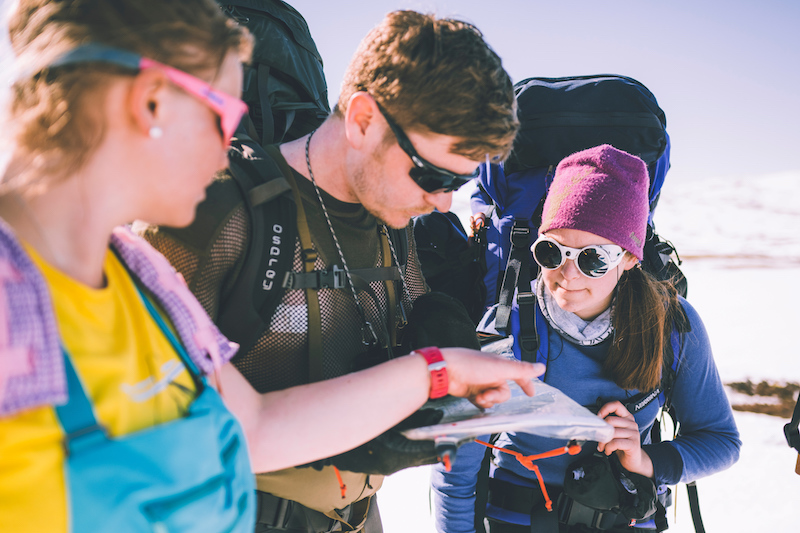
Nytt turutstyr eller kart?
Trenger du turutstyr eller kart til turen? DNTs nettbutikk har godt utvalg av turkart for hele landet, samt turutstyr til medlemspriser.
Se dntbutikken.noOpphavsrett, der ikke annet er angitt, Den Norske Turistforening © 2024
Versjon: 12d8264