Om turen
( Information in English? Look below the Norwegian information )
Gå 1 km mot sør/gjennom Jondal sentrum, og ta til høgre på gang- og sykkelveg opp mot Sætveit til du kjem inn på hovudvegen att. Fylg FV107 400 meter til ein parkeringsplass på venstre side av veg, der det òg er informasjonstavle og skilt om turen. Du går oppover på god skogsti. Etter om lag 15 minutt deler stien seg. Her er det skilta Fjellstøl og Vikanuten. (Denne turen er omtalt som ein rundtur og du kjem tilbake til denne plassen om du vel å gå mot Fjellstøl først). Gå mot Vikanuten, over elva og bratt oppover vestsida av Nutadalen. Først gjennom granskog og vidare i bjørkeskog. Skoggrensa er om lag halvvegs opp til Vikanuten. Vidare oppover i god fjellsti, men like bratt. Varden på Vikanuten ligg litt nedanfor høgda. Frå Vikanuten går ein vidare over høgda i flott fjellterreng med fleire tjørn, før du kjem ned til Fjellstøl. Det er skilta og merka tilbake til starten (Sætveit), eller du kan gå til Breidsete eller ned til Jondalsleite. Stien mot Sætveit går til dels bratt nedover i bjørkeskog og vidare i eit gran felt før du kjem til sti krysset som er omtalt i starten av turen.
På denne turen har Jondal idrettslag sett opp 40 skilt med historiske namn, og med omtale av staden på norsk og engelsk. Skilta er brune med kvit skrift.
Sesong
Juni/juli – oktober. (Går du i juni er det kanskje ein del snøfonner du må gå over.)
Råd for turen
- Ta med mat, drikke og vindtette klede. - Du bør ha fjellstøvlar, men har det vore tørt ei stund kan du også bruke joggesko. - Mobildekning er god på det meste av turen. - Vi anbefaler kart og kompass, ev. GPS. - Det er bandtvang 1. april – 20. august. - Det er forbode med open eld i skog og mark 15. april - 15. september. - Til fots kan du ferdast fritt i utmark, men ver varsam og ta omsyn til dyr og fuglar, og til naturen elles. Ikkje kast søppel.
English version:
Starting point/parking:
1.0 km south of Jondal centre. Parking is possible at the starting point.
Description of the hike:
Start on a good forest path. You come to a fork in the path after about 15 minutes. The hiking sign shows the routes to Fjellstøl and to Vikanuten. (This tour is a round trip, returning to the starting point. You can also choose the opposite direction and start towards Fjellstøl.) Follow the markers showing the route towards Vikanuten. Cross the river and continue up the steep west side of Nutadalen. Initially through a spruce forest and then into the birch woods. The tree line is about halfway up to the top of Vikanuten. Continue steeply up on a good mountain track. The cairn at Vikanuten is just below the highest point. The view from here is extremely good. You are welcome to write your name in a visitor’s book, safely positioned behind some loose stones at the foot of the cairn. The trail then moves up to a beautiful highland terrain with some small lakes and outstanding views. Follow down until you arrive at the mountain cabins of Fjellstøl. These cabins were originally used in connection with the summer grazing of livestock from the farms at Sætveit in Jondal. You can get a superb view of the Jondal village if you make a detour to the antenna about 100 m northwest from the cabins.
There is a visitors’ book in which you can sign your name in a box near to the cabins. The hiking signs then mark the route back to the starting point (Sætveit) or you can continue onwards to Breidsete. (You can also walk to Jondal centre via Jondalsleite.) The path down to Sætveit is a bit steep in parts, initially through the birch woods and then through the spruce forest until you come to the path junction which was mentioned at the start of the hike.
On this trip, Jondal sports club has put up 40 signs with historical names, and with descriptions of the place in Norwegian and English. The signs are brown with white writing.
Season:
June/July – October. (You might encounter some snowfields in June.)
Hiking advice
Bring food, drinking water and windproof clothing.
We advise you to use hiking boots. If it has been dry weather for a while, you could use trainers/sneakers.
We recommend that you bring a map of the area and a compass, or a GPS.
Good cell phone signals covering most of the hike.
Dogs must be always kept (by law) on a leash between April 1 and August 20.
Open fire is prohibited in the hills and woods between April 15 and September 15.
You are free to walk anywhere in the hills and mountains. Take care of the nature and show special consideration to all wildlife. Please do not litter.
Slik kommer du deg dit
- Adkomst
- Stoppesteder
- Google Maps
Adkomst med egen bil
Parkering ved startpunkt på Sætveit.
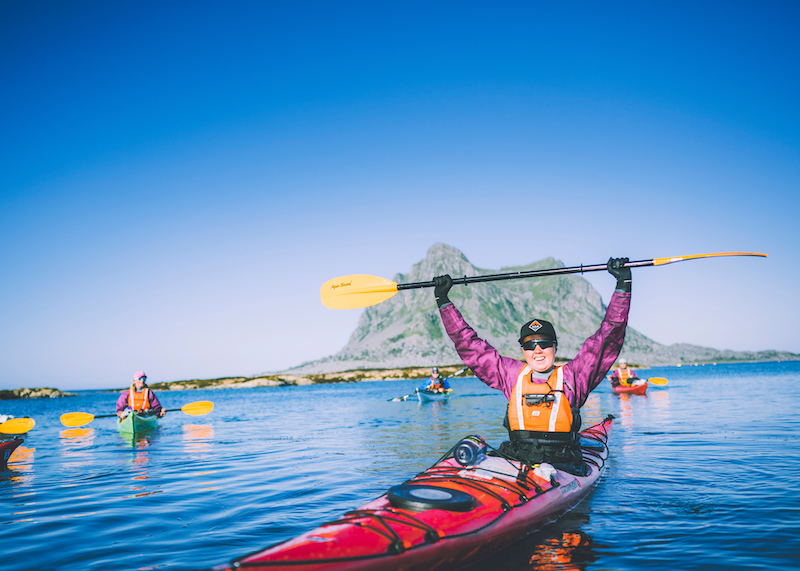
on the path
Kolofon
UT.no er en tjeneste fra Den Norske Turistforening, i samarbeid med Statskog, Friluftsrådenes Landsforbund, Miljødirektoratet og Kartverket.
Med støtte fra Sparebankstiftelsen DNB.
Takk til alle som bidrar med turforslag, hytter, steder og annet innhold på UT.no!
Finn din tur blant tusenvis av turforslag og hytter i hele Norge
Fellesturer, kurs og aktiviteter
Er du en fersking? Eller har du lyst til å dra på tur med andre? DNT arrangerer fellesturer, kurs og aktiviteter over hele landet!
Se oversikt
Nytt turutstyr eller kart?
Trenger du turutstyr eller kart til turen? DNTs nettbutikk har godt utvalg av turkart for hele landet, samt turutstyr til medlemspriser.
Se dntbutikken.noOpphavsrett, der ikke annet er angitt, Den Norske Turistforening © 2024
Versjon: 1510759