Om turen
- 2,4 km
- 1 t, 30 min
- 493 høydemeter totalt
- Sesong: Mai - okt
Turen opp til Bruviknipa 822 moh. er en lang motbakke med med bratt stigning. Belønningen når du når toppen er stor. Her har du fantastisk utsikt over Sør- og Veafjorden og fjellandskap i alle retninger!
For english, see below.
TURBESKRIVELSE:
Turen starter ved Båtaleitet på ca 300 moh. , ovenfor Bruvik på Osterøys østside. Ved Båtaleitet er det en stor parkering. Herfra går en sti som gir effektiv stigning til Bruviknipa (Brøknipa). Stien er mye brukt, og på toppen er det besøksbok. Fra toppen er det et vidstrakt rundskue over Osterøy, i øst Bergsdalsfjellene, i sørvest Gullfjellstraktene med fjellområder. Rett ned og dypt under; Sørfjorden med kirkestedet Bruvik. Ca. 1,5time opp.
Det anbefales ikke å ta denne ruten vinterstid. Den er bratt og det er fare for å skli. Vil du til topps på Bruviknipa en vinterdag, start turen fra Njåstad, ikke Båtaleitet. Pass også på om det er glatt/isete. Deler av turen er eksponert og går bratt ned mot fjorden.
English:
Bruviknipa
The hike up to Bruviknipa (822 m above sea level) is a long ascent with a steep climb. There is a great reward on reaching the summit. Here you will have a fantastic view over Sørfjorden and Veafjorden, with a mountain landscape in all directions!
HIKE DESCRIPTION:
The hike starts at Båtaleitet, approximately 300 m above sea level, above Bruvik on the eastern side of Osterøy. There is a large area for parking at Båtaleitet. A path from here provides an efficient climb to Bruviknipa (Brøknipa). The path is widely used and there is a visitor’s book on the summit. The path up is steep, with a rope to help you in some places. Parts of the hike are exposed and run steeply down towards the fjord.
From the summit there are extensive all-round views over Osterøy, the Bergsdalen mountains in the east and Gullfjellet and the mountain areas in the south-west. Directly down and deep below: Sørfjorden and Bruvik with its church. Approximately 1 hour 30 minutes’ ascent.
It is not recommended to use this route in winter. It is steep and there is a risk of slipping. If you wish to hike to the summit of Bruviknipa on a winter’s day, start from Njåstad, not Båtaleitet. Keep a lookout for slippery/icy conditions.
Getting there by car
From Bergen, follow the E16 in the direction of Voss until you arrive at Kvisti bridge. Drive over and follow the road along the side of the fjord to Bruvik. Continue up the steep and winding road to Båtaleitet. Large area for parking and starting point for several mountain hikes.
Getting there by public transport
From Bergen, train to Arna and then by bus 200 to Kvisti (Osterøy) and 201 to Bruvik. No bus connection from there. Taxi to Båtaleitet if required. There is a hiking path from Bruvik to Båtaleitet, so you do not need to follow the vehicular road up.
Important things to know when hiking:
The Norwegian right to roam (Allemannsretten) gives us many opportunities, but also imposes a duty on us to look after the natural world. When out in nature, you undertake to leave nothing behind other than your own footprints. Leaving no trace is about cleaning up after yourself, taking all rubbish with you and behaving with care and consideration when you are among nature.
Slik kommer du deg dit
- Adkomst
- Stoppesteder
- Google Maps
Adkomst med egen bil
Fra Bergen , følg E16 retning Voss til du kommer til Kvisti bru. Kjør over og følg veien langs fjorden til Bruvik. Videre bratt og svingete opp til Båtaleitet. Stor parkeringsplass og startsted for flere fjellturer.
Adkomst med kollektivtransport
Fra Bergen, tog til Arna og videre med buss 200 til Kvisti (Osterøy) og 201 til Bruvik. Ingen bussforbindelse videre. Evt. taxi til Båtaleitet. Det går tursti fra Bruvik til Båtaleitet, så man trenger ikke følge bilveien oppover.
on the path
Kolofon
UT.no er en tjeneste fra Den Norske Turistforening, i samarbeid med Statskog, Friluftsrådenes Landsforbund, Miljødirektoratet og Kartverket.
Med støtte fra Sparebankstiftelsen DNB.
Takk til alle som bidrar med turforslag, hytter, steder og annet innhold på UT.no!
Finn din tur blant tusenvis av turforslag og hytter i hele Norge
Fellesturer, kurs og aktiviteter
Er du en fersking? Eller har du lyst til å dra på tur med andre? DNT arrangerer fellesturer, kurs og aktiviteter over hele landet!
Se oversikt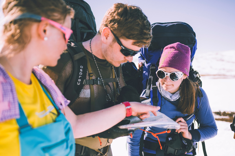
Nytt turutstyr eller kart?
Trenger du turutstyr eller kart til turen? DNTs nettbutikk har godt utvalg av turkart for hele landet, samt turutstyr til medlemspriser.
Se dntbutikken.noOpphavsrett, der ikke annet er angitt, Den Norske Turistforening © 2024
Versjon: 2c786bb